Sample Data
Format
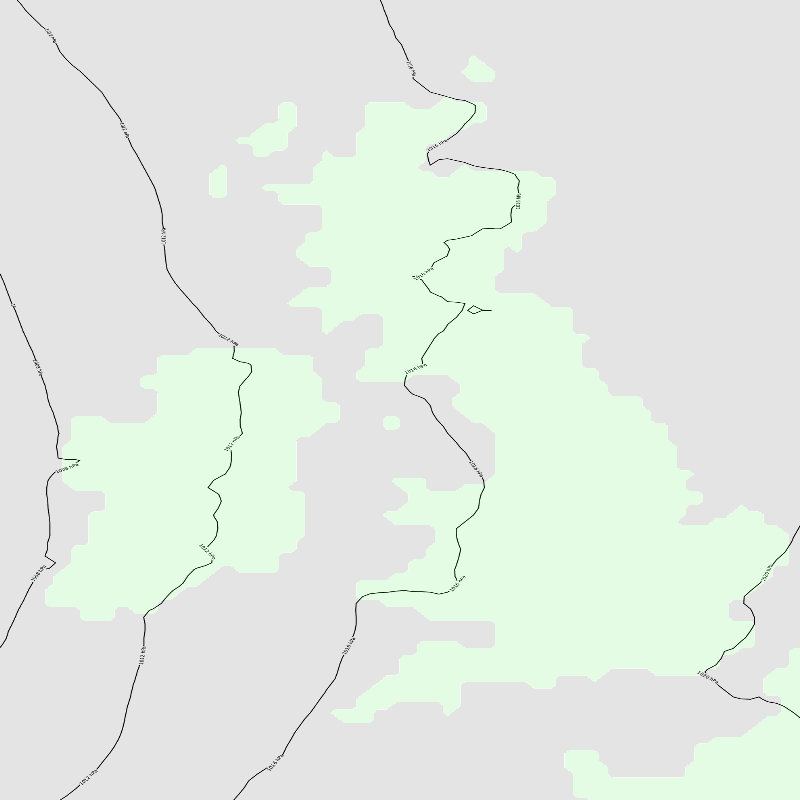
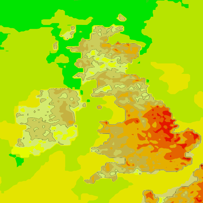
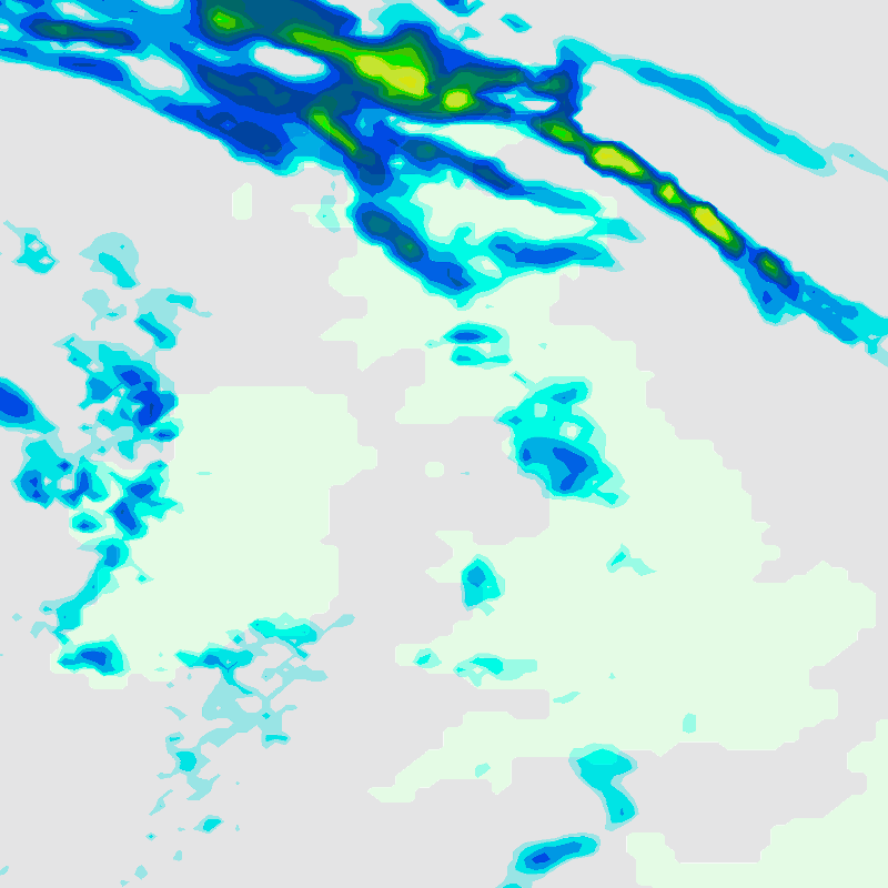
Our map images are provided in PNG format.
Download Sample
To download this sample data please confirm you agree to the terms and conditions:
This is sample data only. It is historic data and provided on a free of charge basis. The
sample data must not be used for commercial or operational use and must not be share
with any third parties. The sample data may only be used for internal business use for the
purposes of allowing the prospective customers to consider what they need to do to set
up their systems and get prepared.
Note: The Met Office has no liability to prospective customers concerning the sample
data provided.
Visualisation


